
When Shorelines Begin to Breathe
Tides, Sediments, and Living Shorelines
Restoring Saltmarsh Mosaics
Seagrass Meadows as Blue‑Carbon Engines
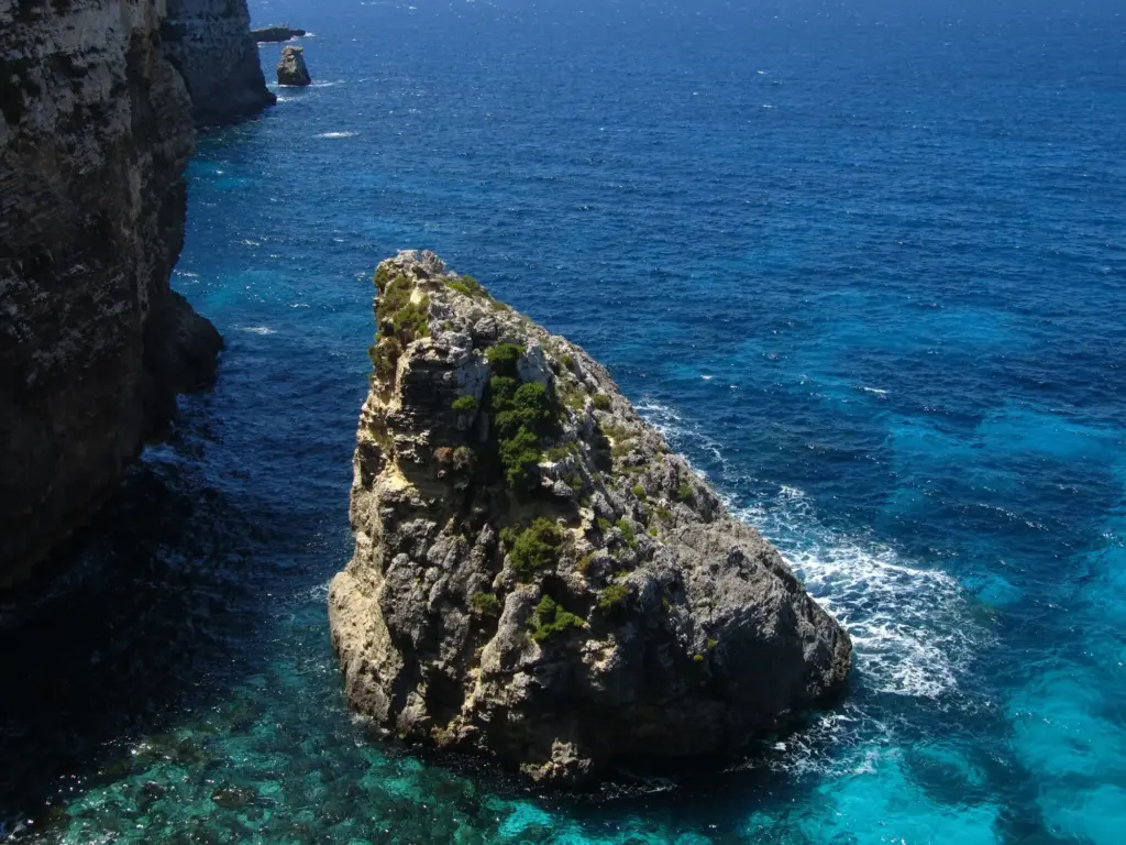
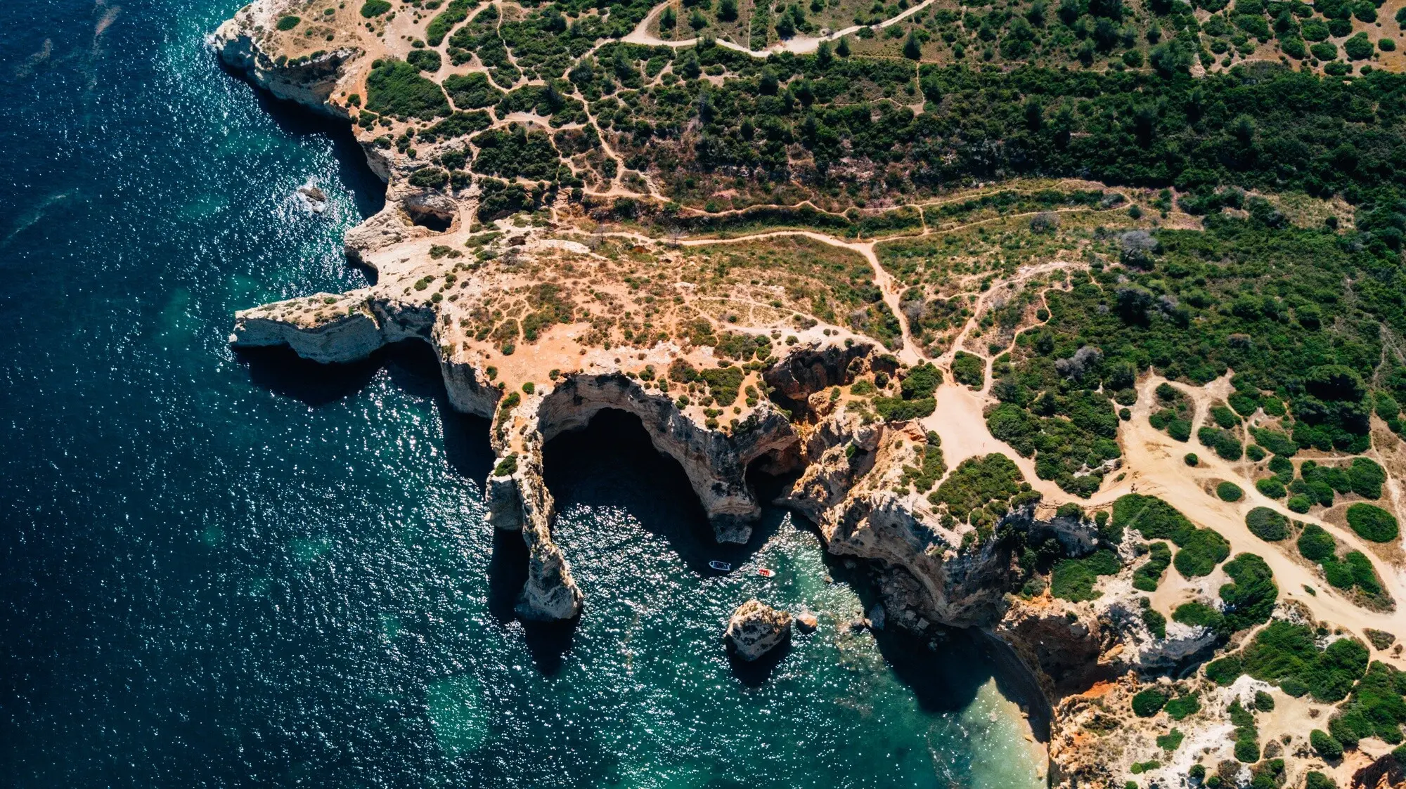
Dune Dynamics and Natural Defences
Rivers as Moving Pathways for Life
Crossing Roads, Rails, and Hard Edges
People, Place, and Working Waters
Fisher Knowledge Guiding Restoration
In Cornwall and the Clyde, fishers have flagged nursery bays where juvenile bass and crabs gather among eelgrass shoots. Their logs pinpoint wind windows and anchor hazards, shaping planting schedules and mooring trials that spare delicate beds. Trust builds when pilot areas prove catches stabilize as habitats recover. If you fish, add your tide notes and habitat sketches; anonymous, shared data can steer projects toward spots where gains arrive fastest for nature and people.
Citizen Science on the Strandline
Volunteers track seaweed rafts, shell patches, microplastics, and storm wrack heights, creating fine‑grained timelines machines often miss. Programmes like Shoresearch, CoastSnap, and iNaturalist stitch photos into living atlases of change. Those atlases inform designs for dune paths, marsh set‑backs, and beach nourishment cycles. Join a local survey, or start a weekend tally with neighbours. Consistent, humble measurements become compelling evidence that wins funding, refines models, and celebrates visible progress along familiar shores.
Designing for Tomorrow’s Tides
Policies, Funding, and Fair Deals
Measuring Change and Learning Out Loud
Indicators that Truly Matter
Open Data, Shared Evidence
Adaptive Management with Communities
All Rights Reserved.